
- Place de l'Hôtel de ville
15300 MURAT - +33 4 71 20 09 47
- contact@hautesterrestourisme.fr


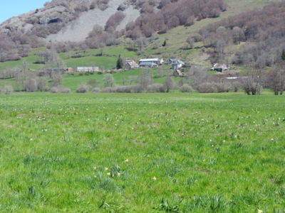
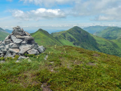
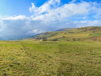
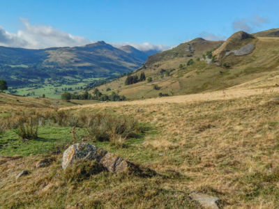
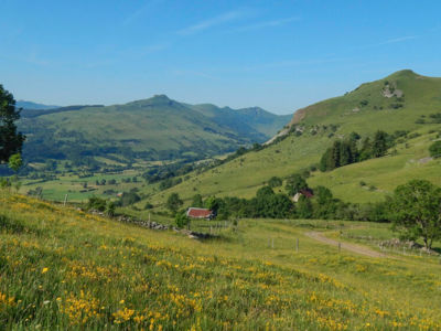
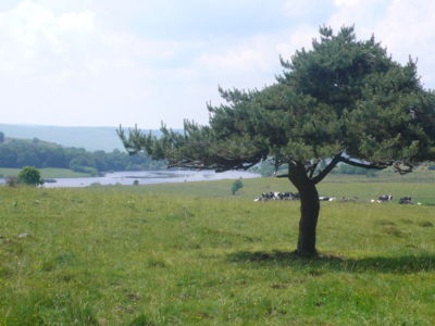
The Grand Site de France Puy Mary Volcan Cantal is strewn with a host of hiking trails. In the Hautes Terres sector, the Santoire valley is the starting point for a number of trails leading to this Grand Site, in the valley, on the Limon plateau or in the mountains to climb Puy Mary and Peyre Arse. It’s up to you!
10 results
Dienne From 8 km
Cycling sports, Mountain biking itinerary, Electric mountain bike route.
Loop
8.2km
2h
Lavigerie From 5.5 km
Pedestrian sports, Hiking itinerary.
Aller/retour
5.4km
1h45min
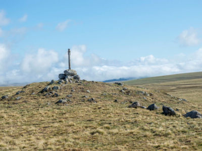
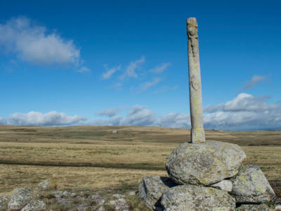
The Hautes Terres du Cantal boasts over 700 kilometres of signposted footpaths (PR - Promenades et Randonnées) through mountains, wild plateaux and steeply cut valleys.
Stay informed and connected to the news and tips from the Cantal Volcano !