GR400

GR® 400,
Tour of the Cantal Volcano

A long-distance hiking trail in a volcanic setting

The GR®400 is a long-distance hiking route that crosses the Cantal volcano, the largest volcano in Europe. A trail totalling 140 km of paths between ridges and valleys at altitudes of 750 to 1855 metres. The route can be broken down into loops lasting from 2 to 8 days. From the iconic Puy Mary pyramid to the highest point of the Plomb du Cantal, between mountain passes, ridges, green pastures, remote cirques and traditional villages, the GR400 invites you on a journey into the kingdom of volcanoes.

The GR®400, the promise of a truly unique experience

Preserved nature and unspoilt landscapes

With a diameter of approximately 70 km, the Cantal volcano offers breathtaking scenery. Here, you’ll discover unspoilt nature, punctuated by glacial valleys, peaks and ridges shaped by volcanic activity millions of years ago.
You may also be lucky enough to spot mouflon sheep, chamois and marmots, so keep your eyes peeled!

GR400

GR400, at Puy Mary

A getaway in a cattle-breeding region

Along the GR®400 trail, you’ll come across herds of Salers and Aubrac cows in their summer residence. They roam the mountains throughout the summer, forming an integral part of the landscape alongside the traditional mountain “buron” huts.

We recommend that you do not take a dog with you into these mountain pastures, even if it is on a lead, to avoid disturbing the herds.

GR400

GR400, cattle-breeding country

Murat, a strategic starting point for the GR®400

Murat, at the crossroads of the GR®400, is the ideal starting point towards the route. The town can be reached by train or by car, so you can park your car for several days close to the station, and it has all the shops and services you need to prepare for your assault on the Cantal volcano!

Ville de Murat

Town of Murat

The main route and its variants

The entire circuit

km: 140 km

Duration: 8 days

Departure / Arrival: Murat

May to October. 

Pets not recommended

GR400, Tour of the Cantalien Volcano

GR400

Typical/indicative stages for
the grand tour (8 days):

  1. Murat / Le Lioran : 19.5 km - 07 hours 05 minutes
  2. Le Lioran / Le Claux : 19.5 km - 06 hours 10 minutes
  3. Le Claux / Le Falgoux : 14.5 km - 04 hours 40 minutes
  4. Le Falgoux / Le Fau : 18 km - 07 hours 20 minutes
  5. Le Fau / Mandailles : 23 km - 08 hours
  6. Mandailles / Thiézac : 13 km - 04 hours 35 minutes
  7. Thiézac / Prat de Bouc : 18 km - 06 hours 35 minutes
  8. Prat de Bouc / Murat : 17 km - 04 hours 30 minutes
Flore du Cantal

The 5 recommended loop circuits

Loop - Alagnon Valley
(2 days / 45 km)

  1. Murat / Le Lioran : 19.5 km - 07 hours 15 minutes
  2. Le Lioran / Murat : 25.5 km - 07 hours 50 minutes

Loop - Cère Valley
(2 days / 36.7 km)

  1. Le Lioran / Thiézac : 17.2 km - 06 hours 15 minutes
  2. Thiézac / Le Lioran : 19.5 km - 08 hours

Loop - Jordanne Valley
(2 days / 32 km)

  1. Mandailles / Pas Peyrol: 16.5 km - 06 hours 20 minutes
  2. Pas Peyrol / Mandailles: 15.5 km - 04 hours 20 minutes

Loop - Cirque du Falgoux
(3 days / 37 km)

  1. Le Falgoux / Le Fau : 16.5 km - 06 hours 45 minutes
  2. Le Fau / Le Falgoux : 20.5 km - 06 hours 30 minutes

Loop - Claux Valley
(1 day / 22 km)

  1. Le Claux / Pas de Peyrol / Le Claux : 22 km - 06 hours 50 minutes

GPX - Claux Valley Loop

Additional information

Luggage / passenger transport

Voyager léger [Cantal Taxis] in Murat - Fabrice Charbonnel
voyagerleger@tva63.fr - 07 48 86 38 65

What materials can help me prepare my hike on the GR®400?

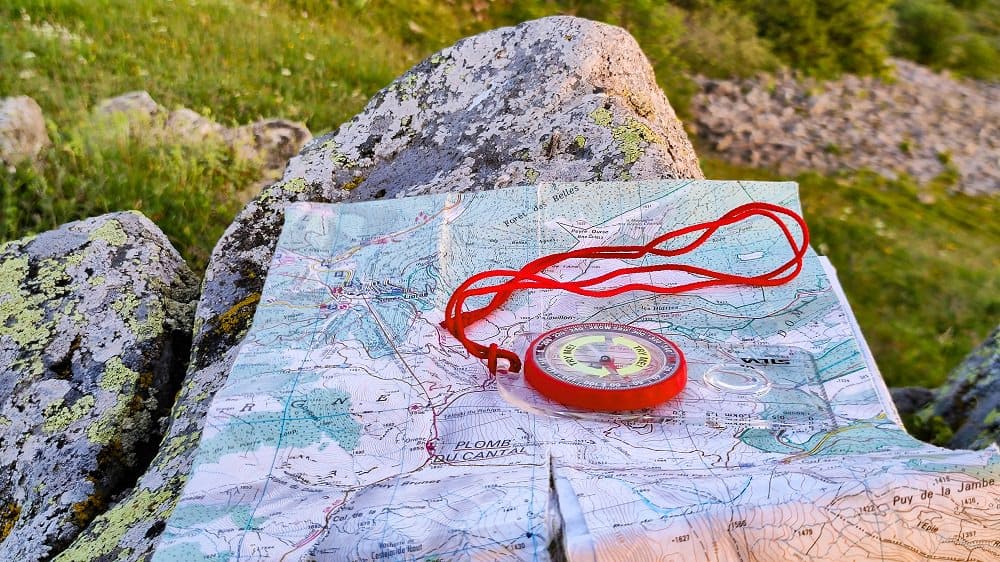
To help you prepare your route and give you peace of mind once you’re there, take a map and a climbing guidebook (topoguide) with you.

  • IGN map Monts du Cantal - Top 25 2435
  • Topoguide Volcan du Cantal and Pays de Saint-Flour - GR® 400

Check the weather conditions (the weather can change very quickly in the mountains!)

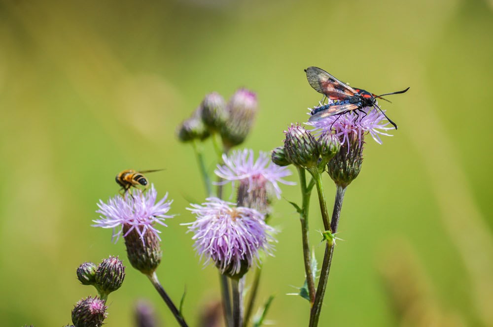
Take advantage of the month of June to enjoy the flowers at altitude and the period from mid-September to the end of October for the autumnal colours and the beautiful, sunny days.