
From Clermont-Ferrand to Cahors, stages on the Cantal Volcano
This Jacobean route bears the memory and traces of the many pilgrims who left for distant Galicia. This route, which is often overlooked, is well worth the effort: it criss-crosses the Haute-Auvergne, with a panoramic view of the Monts du Cantal mountains at an altitude of 1800m. The route leads to the town of Rocamadour before joining the “Via Podiensis” at Cahors

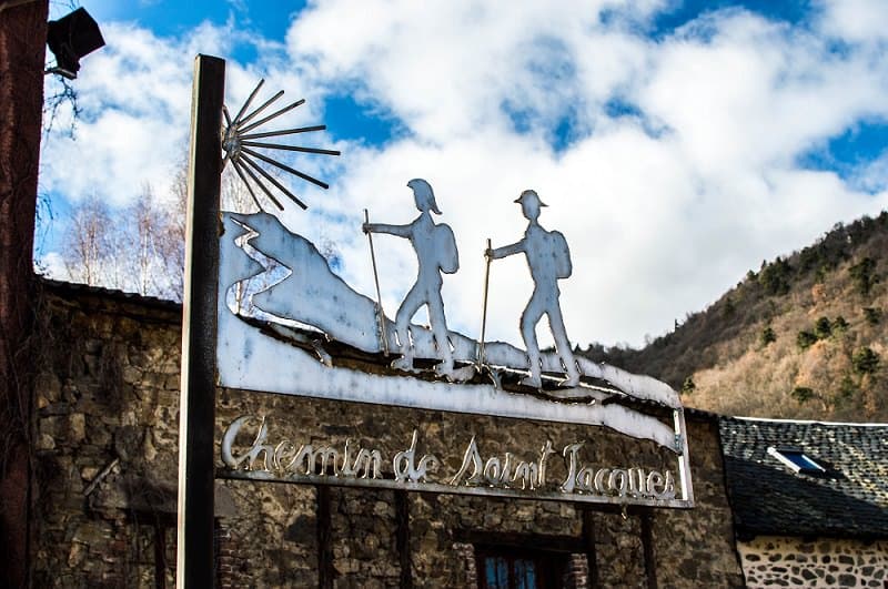
Via Arverna a trail to Compostelle
Massiac is the starting point for the Cantal route. From the moment you arrive, you’ll be pleasantly surprised by this charming village and its chapel of Sainte-Madeleine, which proudly dominates the valley. The perfect start to a 200 km journey through the Cantal region.
The town can be reached by train. If you come with your own car: a car park near the station is available free of charge. Massiac also has all the shops and services you need to prepare for your ascent to the Via Arverna.

Massiac dominated by the Sainte-Madeleine Chapel
km: 207 km
Duration: 7 days
Departure / Arrival: Massiac - Laroquebrou
May to October
Pets not recommended, owing to crossing mountain pastures
Château d’Aurouze ©Hervé Vidal


Puy Griou
Pets are forbidden, even if kept on a lead, as you cross private property and pastures where herds are grazing. For your own safety, always take a bottle of water, a hat, warm clothing and clothing to protect you from the rain, and wear suitable footwear for walking. Depending on weather conditions, some routes are not recommended in bad weather (fog, thunderstorms, snow, etc.).
Voyager léger [Cantal Taxis] in Murat - Fabrice Charbonnel
voyagerleger@tva63.fr - 07 48 86 38 65