- Place de l'Hôtel de ville
15300 MURAT - +33 4 71 20 09 47
- contact@hautesterrestourisme.fr


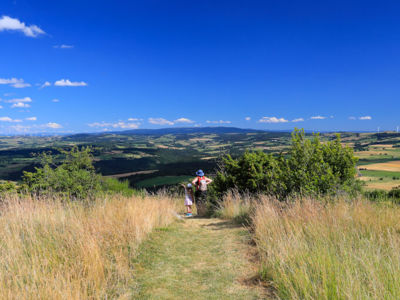
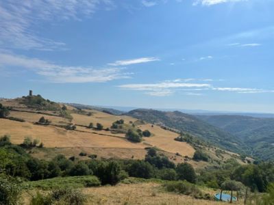
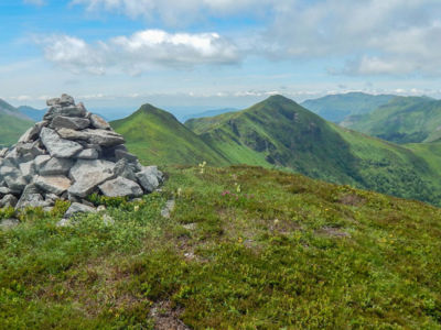
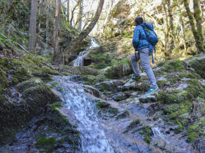
Would you like to climb up a mountain, stroll through a forest, escape to a high-altitude plateau or cool off by a waterfall? With over 700 kilometres of signposted footpaths (PR - walking and hiking routes), the Hautes Terres du Cantal is an ideal playground for a variety of complementary landscapes. Experience a variety of moods as the seasons change. There’s plenty to discover on our perfectly signposted and safe routes!!
99 results
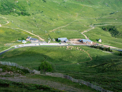
Prat-de-Bouc From 4 km
Pedestrian sports, Hiking itinerary.
Loop
3.8km
1h5min
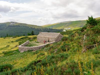
Prat-de-Bouc From 5.5 km
Pedestrian sports, Hiking itinerary.
Aller/retour
5.3km
1h45min
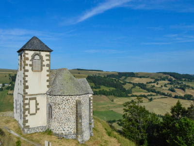
Ségur-les-Villas From 14.5 km
Pedestrian sports, Hiking itinerary.
Loop
14.4km
4h55min
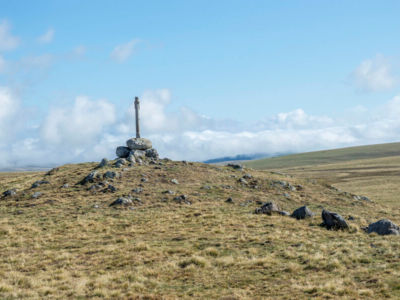
Allanche From 83 km
Pedestrian sports, Hiking itinerary.
BOUCLE
83
Auriac-l'Église From 10 km
Pedestrian sports, Hiking itinerary.
Loop
10.2km
3h
Stay informed and connected to the news and tips from the Cantal Volcano !