- Place de l'Hôtel de ville
15300 MURAT - +33 4 71 20 09 47
- contact@hautesterrestourisme.fr

Leyvaux
Loop
11km
4h
Balisage vert
500m
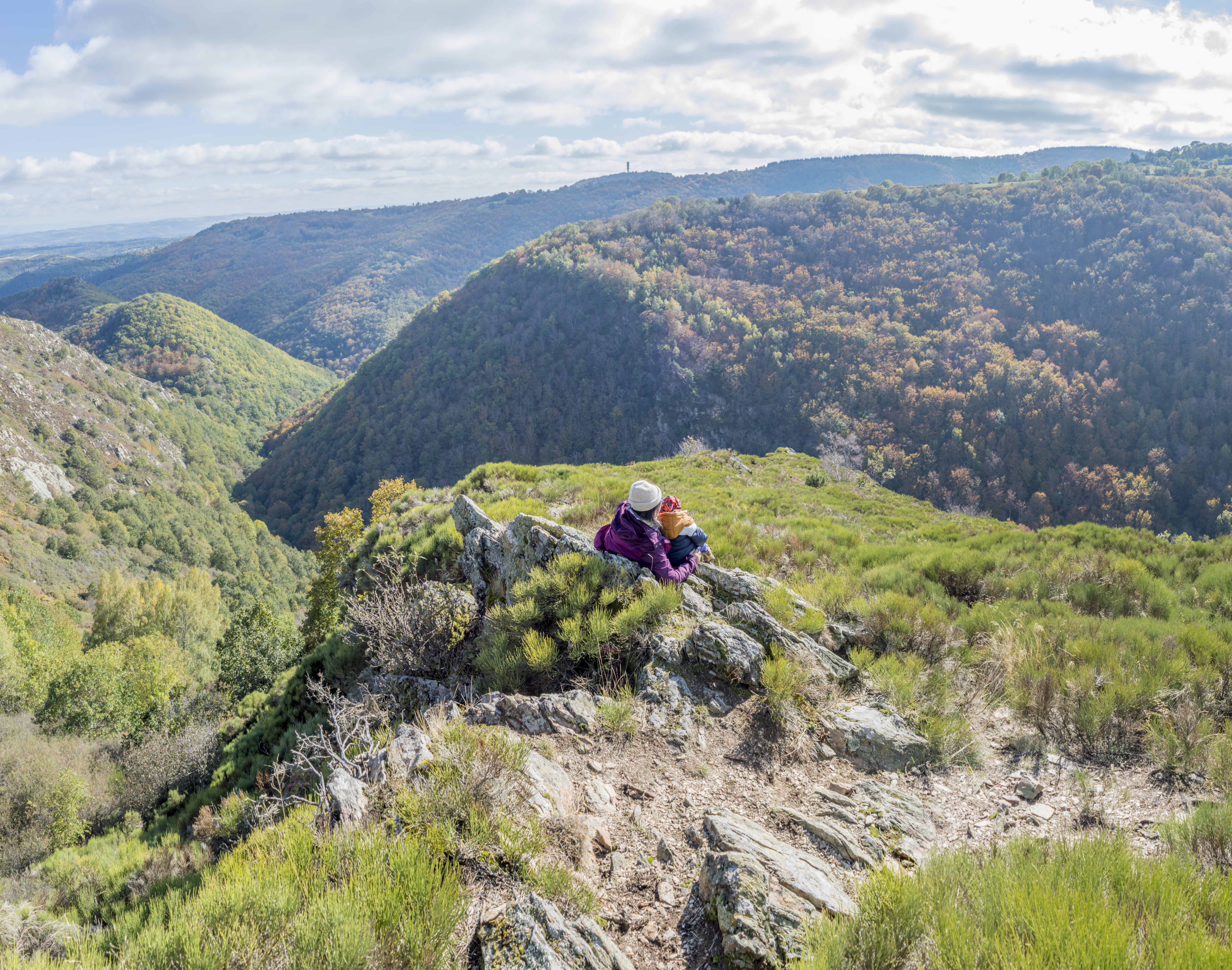
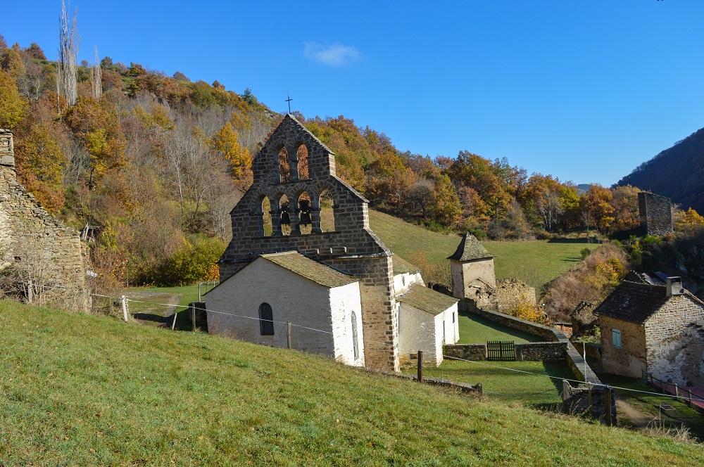
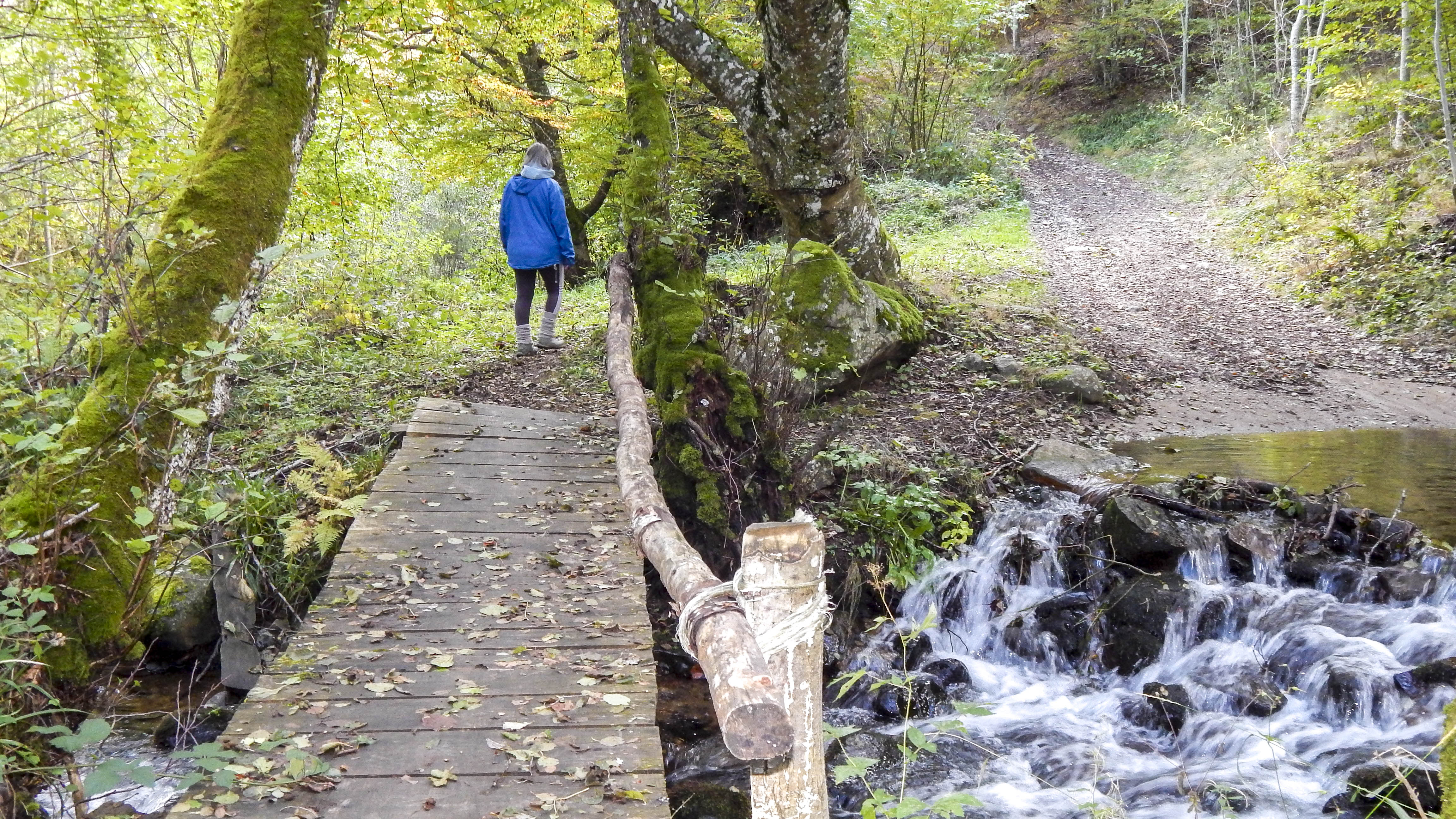
Cette balade au cœur des gorges du ruisseau d’Apcher, milieu très préservé, d’une richesse faunique et floristique majeure, vous mènera au village de Leyvaux. L’Eglise et son majestueux clocher à peigne vous surprendront.
-For your safety, please check the weather forecast before setting off on your hike. -To preserve the environment in which you are located, please avoid leaving garbage in nature. -Remember to take the appropriate equipment for the weather conditions and the hiking itinerary (hiking boots, water bottle, cap, sunglasses, jacket…).
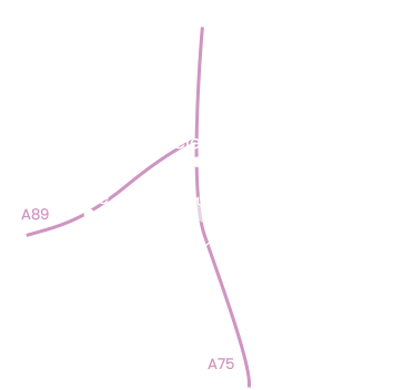
Start- The start is in Combaliboeuf, at the roadside median.
Enter the hamlet. Soon leave the tarmac road and go left down an ash-lined path.
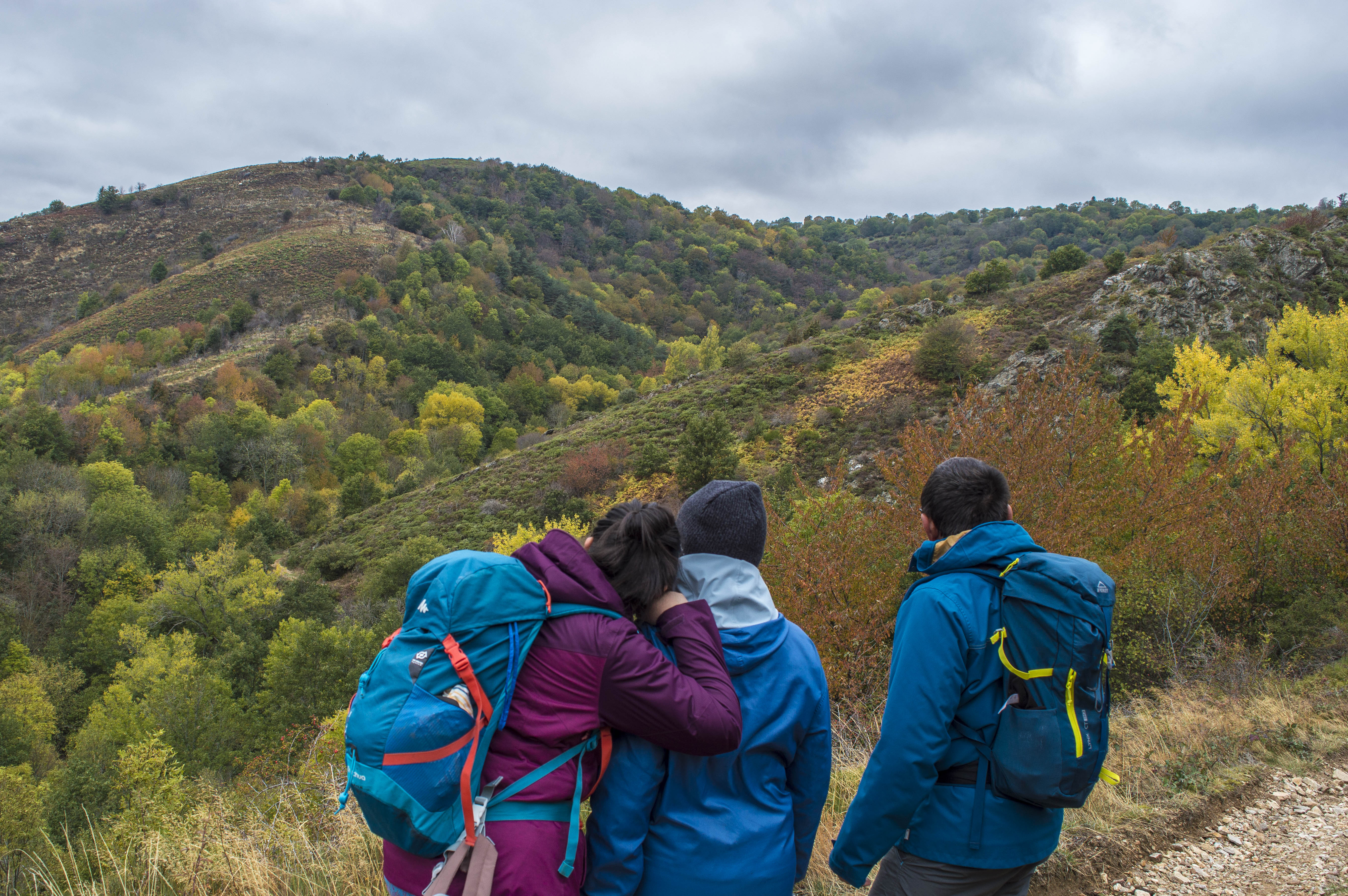
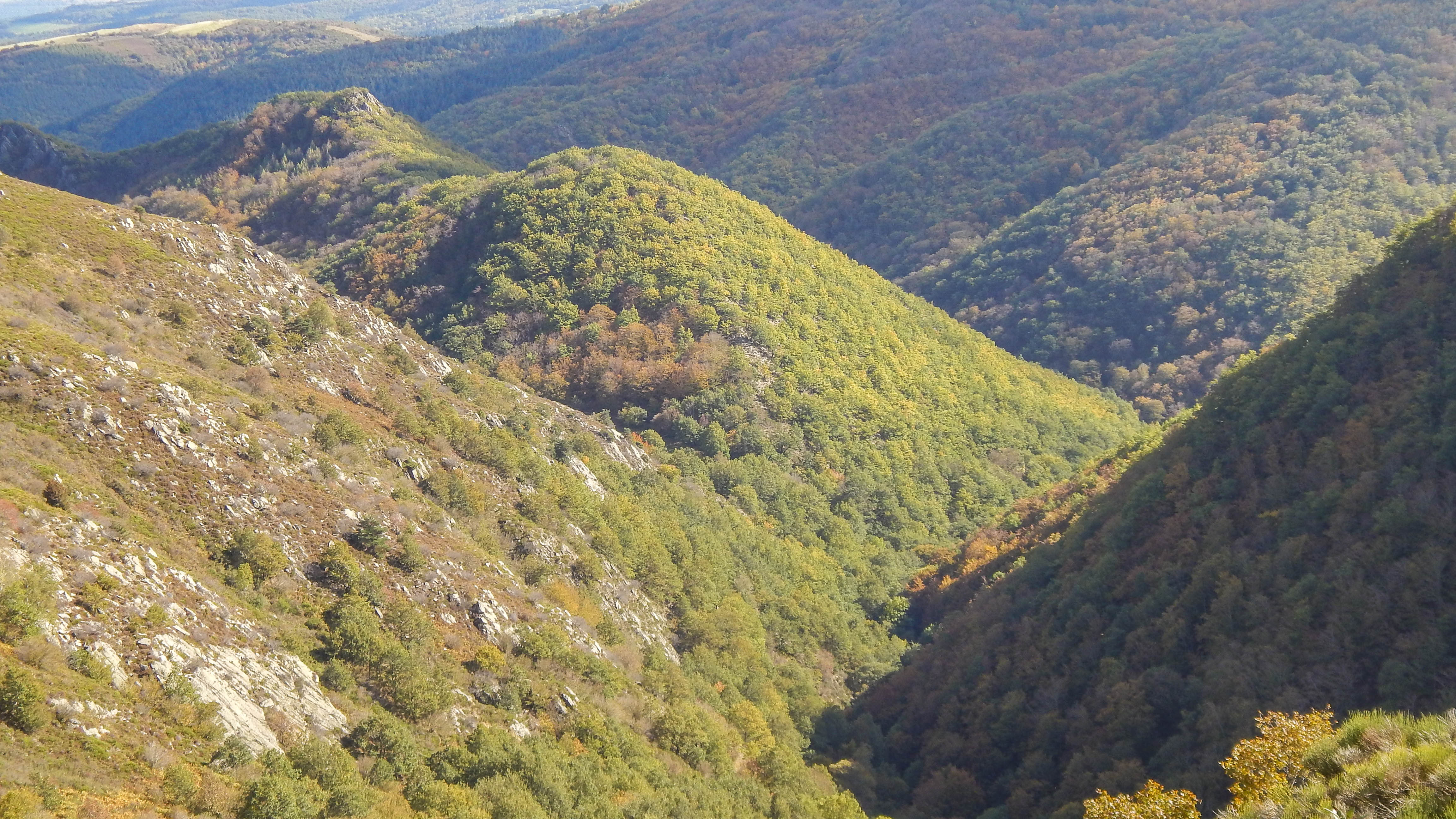
1- At the hairpin, you can come forward to enjoy the view of the narrow valleys of the Ruisseau de Leyvaux to the right and the Ruisseau des Trois Sauts to the left.
Descend through moorland. Cross the Ruisseau de Saroil to the left, then climb the hillside. The path crosses a ridge and then descends through wild cherry trees.
2- Cross Leyvaux and follow the path alongside the stream. Stay in the valley, on the wooded north-facing slope.
3- Take the left-hand track as it descends. The sunken path overlooks the gorge of the Apcher stream. A few million years ago, this stream flowed through Leyvaux, carving out the narrow valley we’ve just traversed. A tributary of the Barthonnet stream, whose source has moved further upstream through various erosion phenomena, has diverted the watercourse which now flows through the Barthonnet valley.
This phenomenon is sufficiently rare in the region to merit mention as a geological curiosity.
4- Cross the Apcher stream. Turn left after the bridge and follow the forest track, which turns right after 50 metres. After a sharp right-hand bend, the track continues uphill. After a final left-hand bend, you reach Sagne.
5- Sagne, the etymology of the word suggests a wetland. Leave the road at a bend, step over a stepladder and take a path lined with walls. A small tumour necropolis is visible on the left. Pass two more stepladders and reach Saroil.
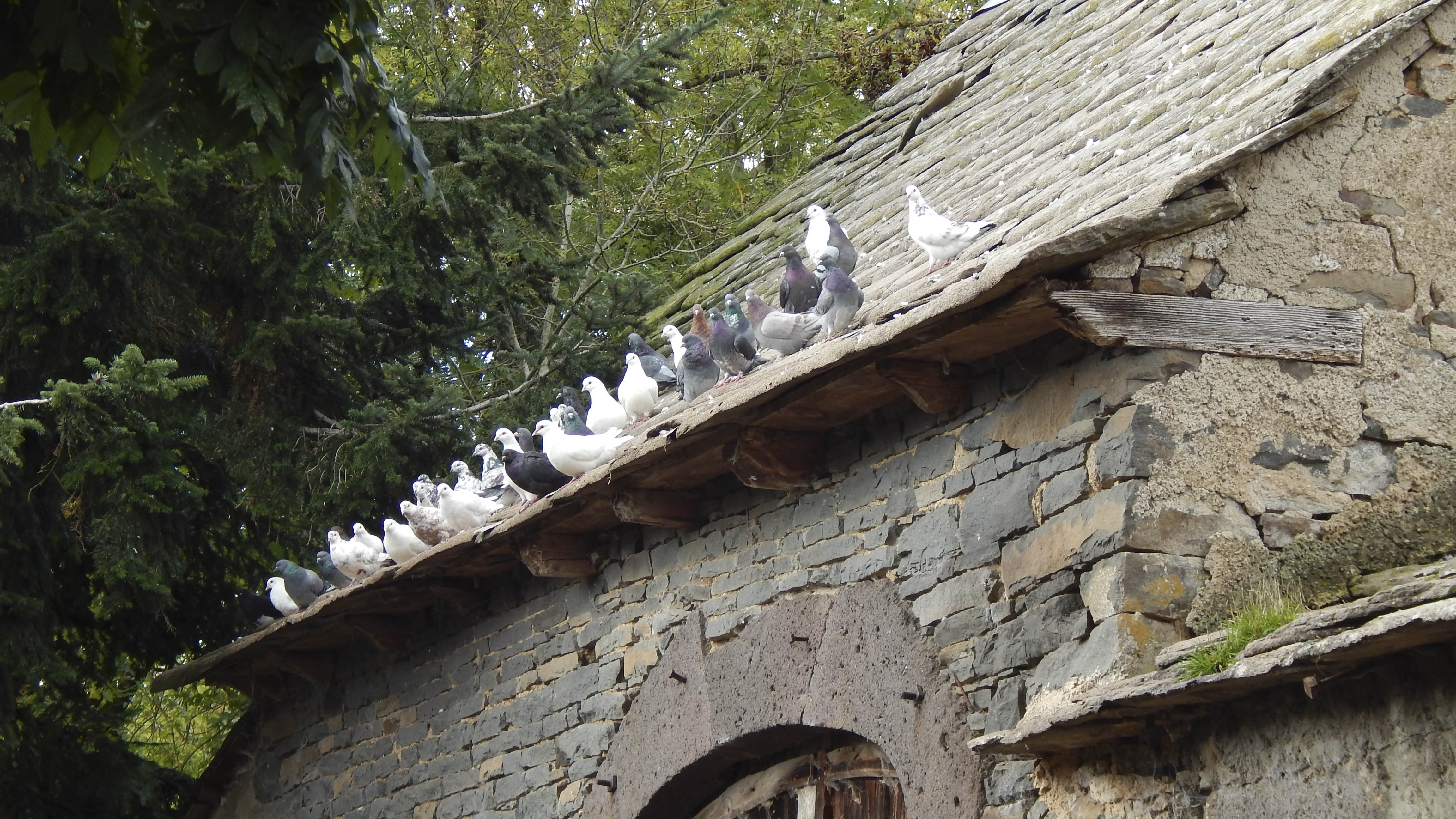
6- At the entrance, turn left up the hill, passing a slate roof. Numerous stepped gables are visible. This construction technique is a reminder that these roofs used to be thatched. At the road, turn left. Leave the hamlet.
7- Reach a crossroads. Viewpoint to the left over Anzat le Luguet, and behind it the Signal du Luguet (1551 m). Turn right onto the plateau track that leads to Combaliboeuf and back to the starting point.
Closed temporarily.
Environments
In the country, Forest location, Mountain view, Close to GR footpath, Waterside