- Place de l'Hôtel de ville
15300 MURAT - +33 4 71 20 09 47
- contact@hautesterrestourisme.fr

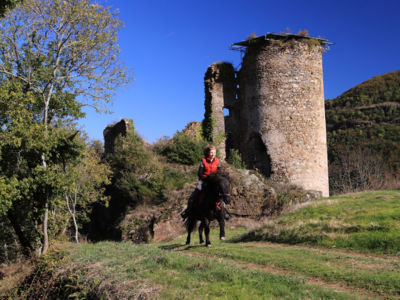
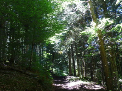
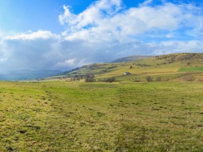
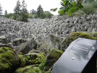
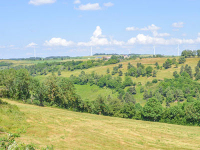
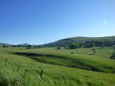
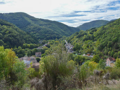
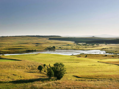
Would you like to climb up a mountain, stroll through a forest, escape to a high-altitude plateau or cool off by a waterfall? With over 700 kilometres of signposted footpaths (PR - walking and hiking routes), the Hautes Terres du Cantal is an ideal playground for a variety of complementary landscapes. Experience a variety of moods as the seasons change. There’s plenty to discover on our perfectly signposted and safe routes!!
39 results
Allanche From 83 km
Pedestrian sports, Hiking itinerary.
BOUCLE
83
Landeyrat From 7.5 km
Pedestrian sports, Course, Hiking itinerary.
Loop
7.3km
2h15min
Ségur-les-Villas From 9.5 km
Pedestrian sports, Hiking itinerary.
Loop
9.5km
2h45min
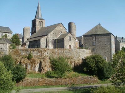
Ferrières-Saint-Mary From 6 km
Pedestrian sports, Hiking itinerary.
Loop
6km
2h
Chavagnac From 7.5 km
Pedestrian sports, Course, Hiking itinerary.
Aller/retour
7.6km
2h15min
Ségur-les-Villas From 5.5 km
Pedestrian sports, Course, Hiking itinerary.
Loop
5.5km
1h30min
Stay informed and connected to the news and tips from the Cantal Volcano !