
- Place de l'Hôtel de ville
15300 MURAT - +33 4 71 20 09 47
- contact@hautesterrestourisme.fr

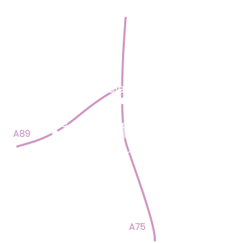
Albepierre-Bredons
Loop
9km
3h
Yellow markings.
372m
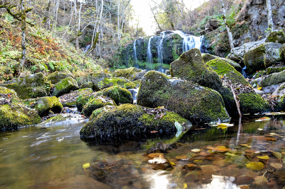
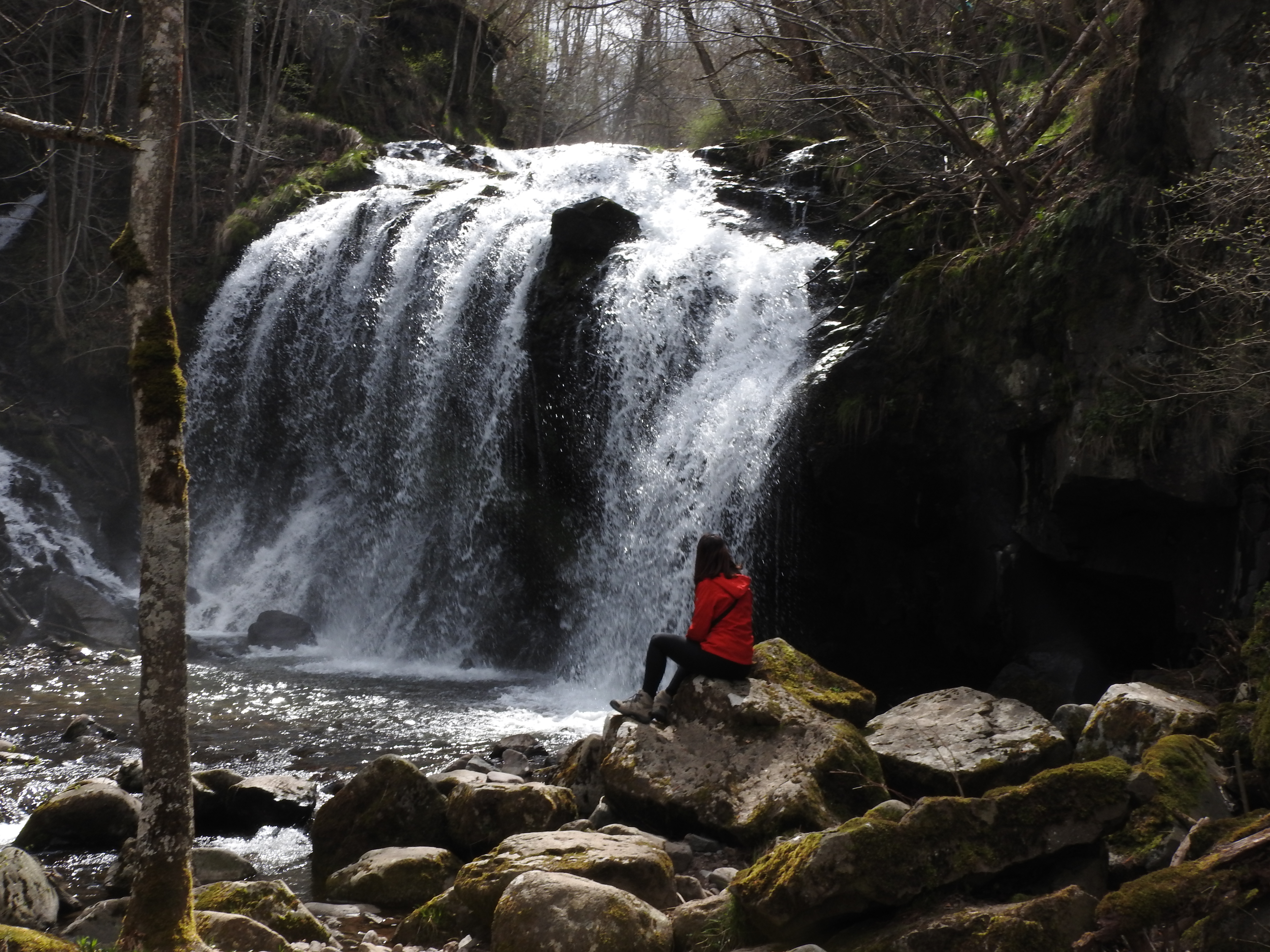
This trail is a superb compromise between built and natural heritage. On one side, a buron, a cross, an oratory and a royal milestone; on the other, forest, mountain scenery and … 3 waterfalls: Vergnes, Prés Longs and Prapsou.
A mostly shady walk in the Murat state forest. Enjoy views of the Plomb du Cantal, Rochers de Chamalières and Puy du Rocher, and the Lagnon and Benet valleys. You’ll also be impressed by a number of heritage buildings: a remarkable stone bridge at the entrance to the forest, the privately-owned Pas de Boeuf buron, the Prapsou cross and the Pont des Tuiles oratory built into a rock.
Start – The route starts in the village of Albepierre-Bredons, place du 19 mars 1962. At the drinking troughs, cross the road and take the lane on the left between two stone walls. After about ten metres, turn left and continue along the grassy path. At the top, turn right and climb up to the D39. Cross the road and turn left up the hill for about 20m.
1- At the “délaissé”, before the calvary, take the 2nd grassy track which rises to a level. Go straight ahead, cross the main road and take the large tree-lined track. Stay on this track for about 2.5 km. At the intersection before the stone bridge, you can visit the Prés Long waterfall (10 min. return).
2- Cross the stone bridge and continue up the wide track. After about 350 m, you’ll reach a platform where you can admire the Vergnes waterfall. Pick up the track again, and continue climbing for around 500 metres to reach the RD39.
3- Go back up the road for about ten metres, and at the bend in the road, take the left-hand track which climbs into the woods for about 300 metres, until you reach the large forest track.
4- Turn left and stay on this wide track for about 1.5 km.
5- At this point, take the track on the far left which descends into the forest. Follow it for about 2.8 km until you reach a hairpin bend.
6- Take the track opposite, which descends for about 30 metres, then take the path on the far left, which gradually leaves the wood and leads back to the meadows.
7- Cross the bridge, and at the next junction, continue right on this wide track for around 750 metres (don’t miss the view of the oratory on the Pont des Tuiles on your right). At the hamlet of Les Trois pierres, at the level of the Prapsou cross on the right-hand side of the path, you can descend to admire the sublime eponymous waterfall (10 min return). Return to the main road and keep right at the next crossroads. Continue for about 150 m, and at the next junction, turn left up the lane to get back to the starting point.
-For your safety, please check the weather forecast before setting off on your hike. -To preserve the environment in which you are located, please avoid leaving garbage in nature. -Remember to take the appropriate equipment for the weather conditions and the hiking itinerary (hiking boots, water bottle, cap, sunglasses, jacket…).
All year round.
Subject to favorable weather.
Pets allowed
Environments
Close to GR footpath, Forest location, Waterside, Waterfall view