
- Place de l'Hôtel de ville
15300 MURAT - +33 4 71 20 09 47
- contact@hautesterrestourisme.fr

Albepierre-Bredons
Loop
13km
4h
Green signposting.
544m
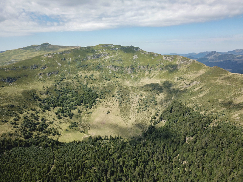
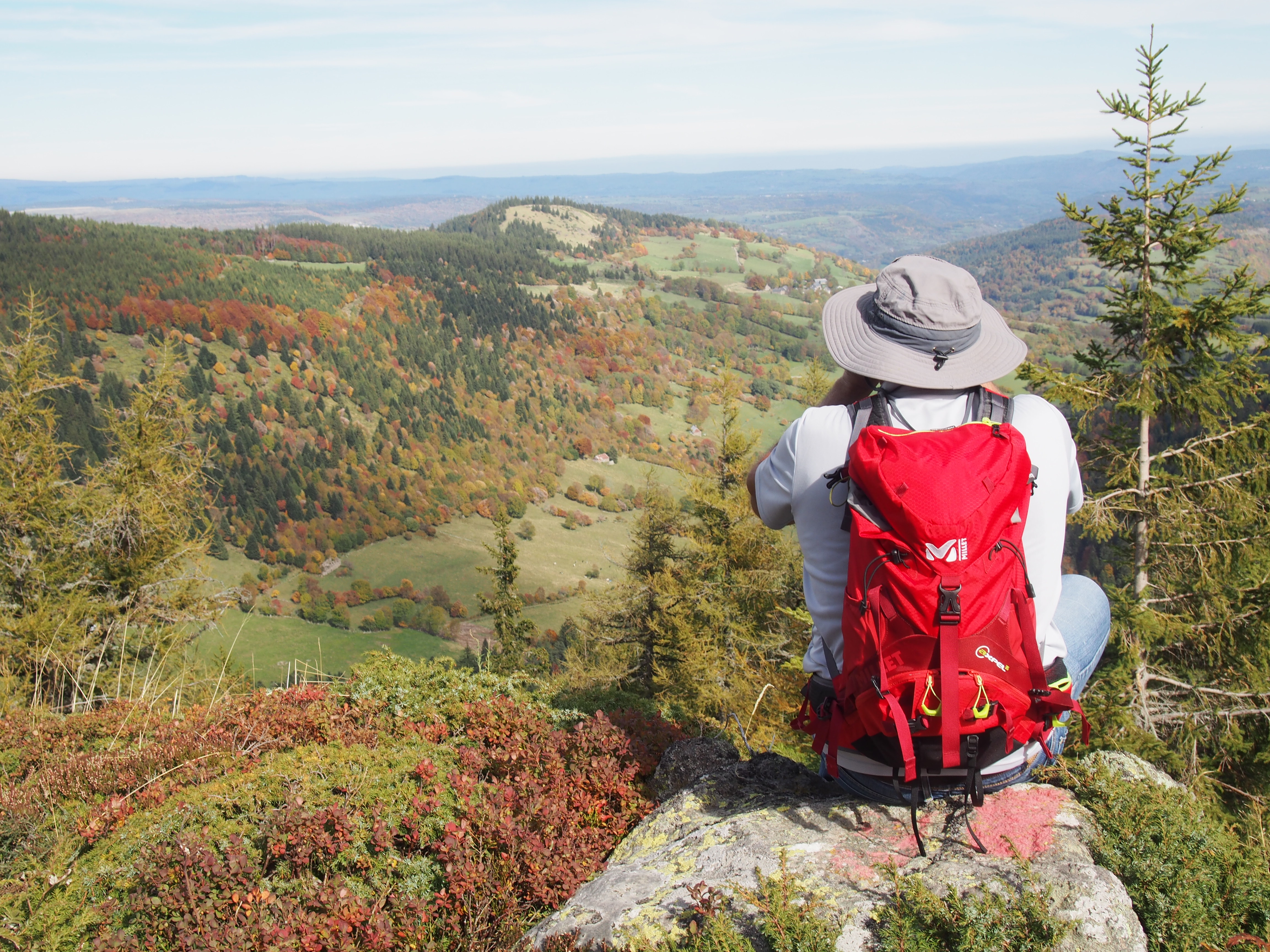
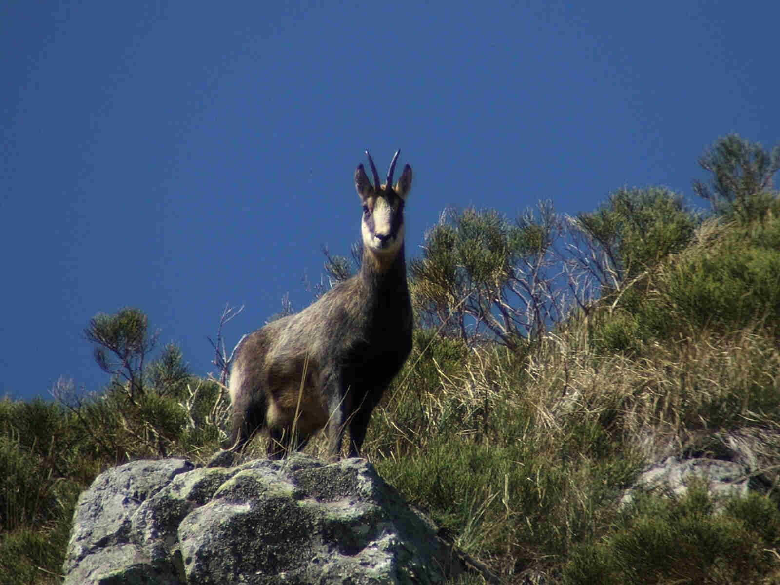
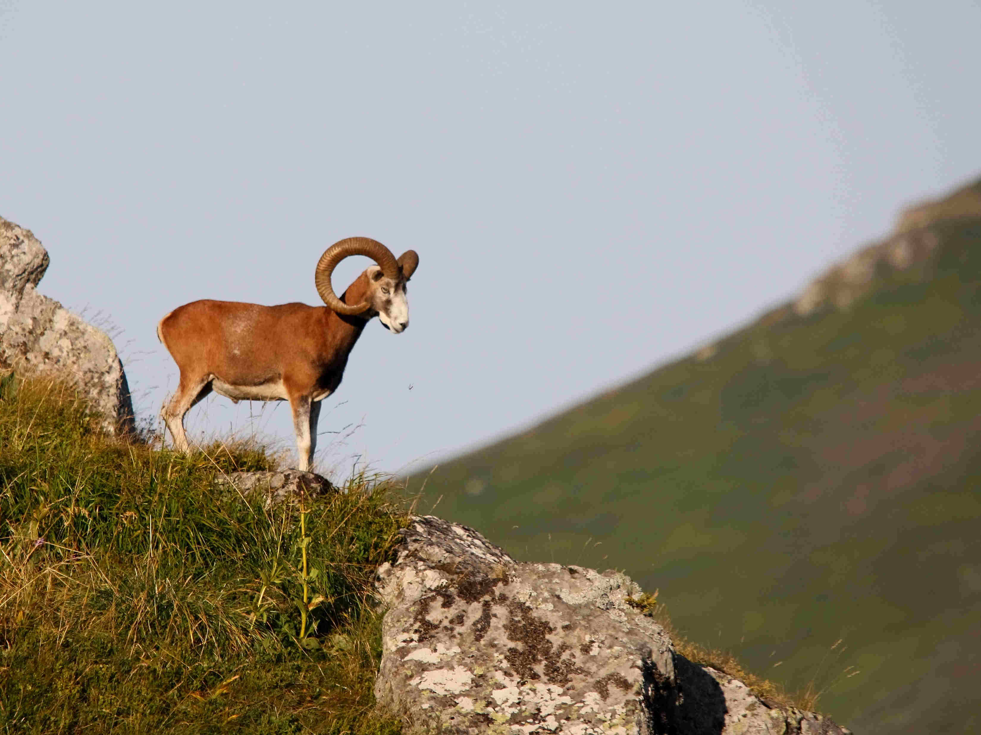
This trail circles the Cirque de Chamalière, offering you a quiet walk with a lovely view of the Col de la Molède and perhaps an encounter with a chamois or mouflon – just keep your eyes peeled!
Discover the Cirque de Chamalière, one of the most beautiful glacial cirques in the Monts du Cantal, with its regular amphitheater landscape. Preserved from human development, the Chamalière cirque is ideal for wildlife observation. From the Col de la Molède, you’ll enjoy a breathtaking view of the village of Albepierre. If you’re a geology buff, you’ll be struck by the numerous boulders that testify to the presence of the glaciers that deposited them after shaping the relief.
Departure point – Albepierre-Bredon, Place du 19 mars 1962, go as far as the stone drinking troughs. Cross the road and take the lane on the left between two stone walls. After about ten metres, turn left and continue along the grassy path. At the top, turn right and climb up to the RD N°39. Cross the road and turn left up the hill for about 20 metres.
1- At the “délaissé”, before the calvary, take the 2nd grassy track which goes up to a level.
2- At the intersection before the main road, take the right track and continue for about 450 m.
3- At the level, leave the track and turn left into the blueberry heath, climbing diagonally to the top of the Serre hill, at the fence. Find the V-shaped passage. Cross it and immediately turn right, following the fence. The path climbs steadily for about 450 m and returns to a grove. Continue along the fence on your right until you reach another V-shaped passage. Cross it and turn left onto the right-hand path at the edge of the forest.
4- After about 1.6 km, you come to a large forest track that runs deep into the woods. Stay on this large track, ignoring intersections, for about 1.5 km. The track rises to reach the Chamalière cirque.
5- Go through the gate and continue straight ahead for about 20 metres to exit the wood. At the last tree, turn right and descend diagonally into the meadow, following the course of the boulders below and the stream. Cross the stream and continue straight ahead, leaving the ruins of a buron on your right. Continue straight on for around 100 metres, then descend to the right to reach the fence and the entrance to the coniferous wood.
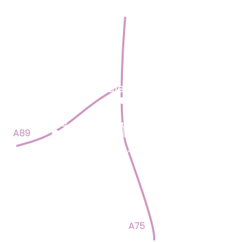
6- Go through the gate and continue straight ahead. At the next intersection, keep left and continue straight ahead on this wide track for about 3km to reach the Col de la Molède.
7- At the first crossroads, leave the tracks on your left and right. Take the track opposite towards La Molède/Albepierre-Bredons, which runs alongside a meadow on the left and the edge of the wood on the right. Go downhill for about 300 m, following the markers. At the intersection, stay on the right-hand path. Continue downhill to the next crossroads. Turn right to reach the village of La Molède.
Go through the hamlet on the local road leading back down into the valley. At the hairpin bend, continue for around 300 metres. Leave the road and turn left, down a path through the trees. At the bottom of the path, turn left and cross the Benet stream by the pretty stone bridge.
8- At the next junction, turn left again onto the wide track. Go past the soccer pitch and continue straight ahead for about 600 metres. At the crossroads, 100 metres before the main road, take the right-hand path up the small hill. At the calvary, stay on the left-hand track and return to Albepierre-Bredons along the same path you took on the outward journey.
-For your safety, please check the weather forecast before setting off on your hike. -To preserve the environment in which you are located, please avoid leaving garbage in nature. -Remember to take the appropriate equipment for the weather conditions and the hiking itinerary (hiking boots, water bottle, cap, sunglasses, jacket…).
All year round.
Subject to favorable snow and weather conditions.
Environments
Forest location, Mountain view, Mountain location, Village centre, Close to GR footpath