- Place de l'Hôtel de ville
15300 MURAT - +33 4 71 20 09 47
- contact@hautesterrestourisme.fr

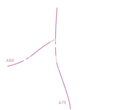
Massiac
Loop
13km
4h
Green markings
470m
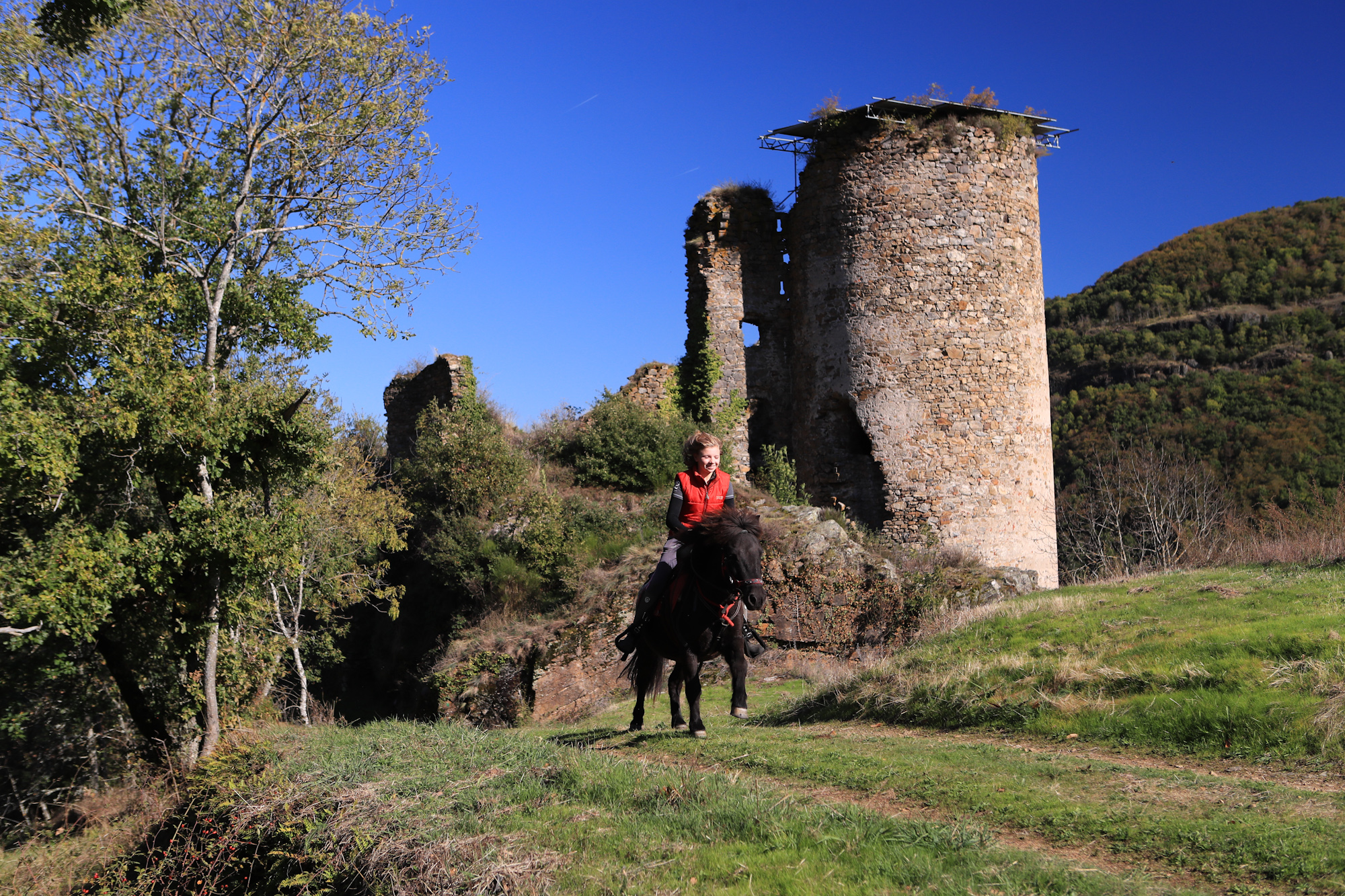
Ce circuit nous fait remonter au temps des cultures en terrasses (palhàs) et des fonds de vallées (pré-vergers). Sans oublier la sentinelle du château d’Aurouze (XIVè siècle).
-For your safety, please check the weather forecast before setting off on your hike. -To preserve the environment in which you are located, please avoid leaving garbage in nature. -Remember to take equipment adapted to the weather conditions and the hiking itinerary (hiking boots, water bottle, cap, sunglasses, jacket…).
Start – Near the Bascule. From the square, head for the Alagnonnette stream and cross it using the footbridge. Turn right into the lane, go through the gate and cross the railroad line.
1- Turn left on the main road, then right towards Bonnac. Turn right before the level crossing. Follow the Alagnon and Arcueil rivers. At the first crossroads, turn right.
2- Turn right on the road to Bonnac and cross the bridge over the Arcueil.
3- Go up on the path which bends to the left.
4- At the road, go straight ahead. Turn right 300m further on, onto a track. View of the three basaltic flows. This wide track through meadows and orchards leads to the railroad.
5- Cross the railroad and then the Alagnon. On your left, at the aire de la Roche, a picnic table. Horses, donkeys and oxen can be shod. Cross the RN122 and follow it to the right for a few metres. Enter the hamlet of La Roche, turning left into a narrow lane that climbs to the foot of the house built into the rock. This house gave its name to the hamlet of La Roche. Beautiful visible terraces.
6- Turn left on the old RN road to Aurouze.
7- In the village, turn right at the cross and cross the square. To visit the ruins of the 14th-century château d’Aurouze (15 min return), walk 75 m, then take the left-hand path which curves upwards, turns right at the foot of a house and leads to the ruins of the château d’Aurouze. To get to the Secouriou waterfall (35 min return), go to the end of the square and take the path that climbs to the left. To continue, take the first lane on the right after the cross, then an undergrowth path rising through hillsides, oaks, pears, apple trees, then pines and broom. Cross Auzelaret.
8- At the road, turn right twice, first onto the road, then onto the track. On your left, the Praluit volcano. View of the Livradois mountains, Margeride, Suc de Védrines and the Alagnon valley.
9- Cross a wide track, take it to the right, then 50 m further on, turn left.
10- Take the road on the left. About 80m further on, take a dirt track to the right.
11- The track winds down to the entrance to Massiac.
12- The track becomes a road. At the crossroads, turn left. At the crossroads with the D21, descend to reach the Alagnon river. At the water’s edge, turn left before the bridge and follow the river for 250m. Take the footbridge and return to the starting point.
All year round.
Subject to favorable weather.
Pets allowed
Environments
Close to a public transportation, Close to a motorway, Village centre, Riverside, Waterside, In the country, Forest location, Station district