- Place de l'Hôtel de ville
15300 MURAT - +33 4 71 20 09 47
- contact@hautesterrestourisme.fr

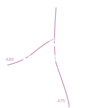
Saint-Poncy
Loop
11km
3h10min
Balisage jaune
377m
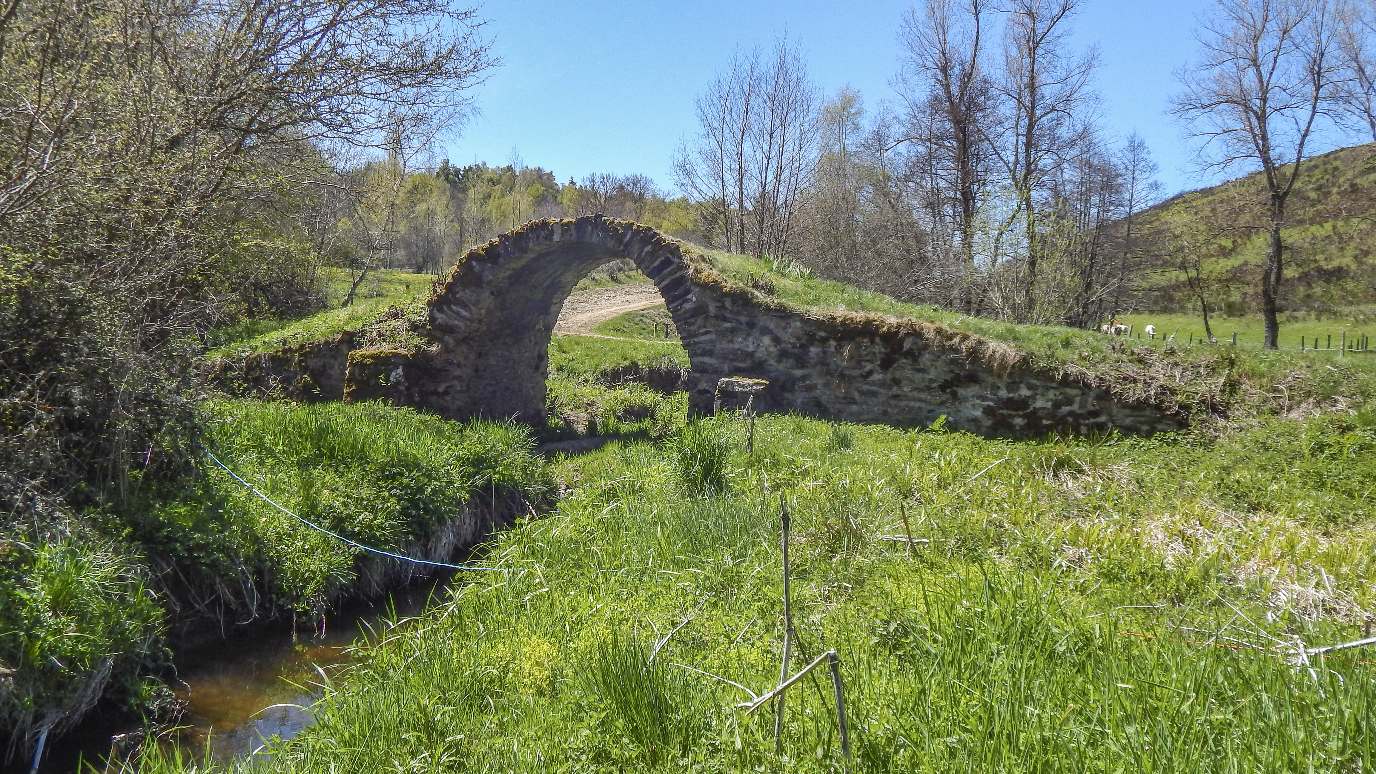
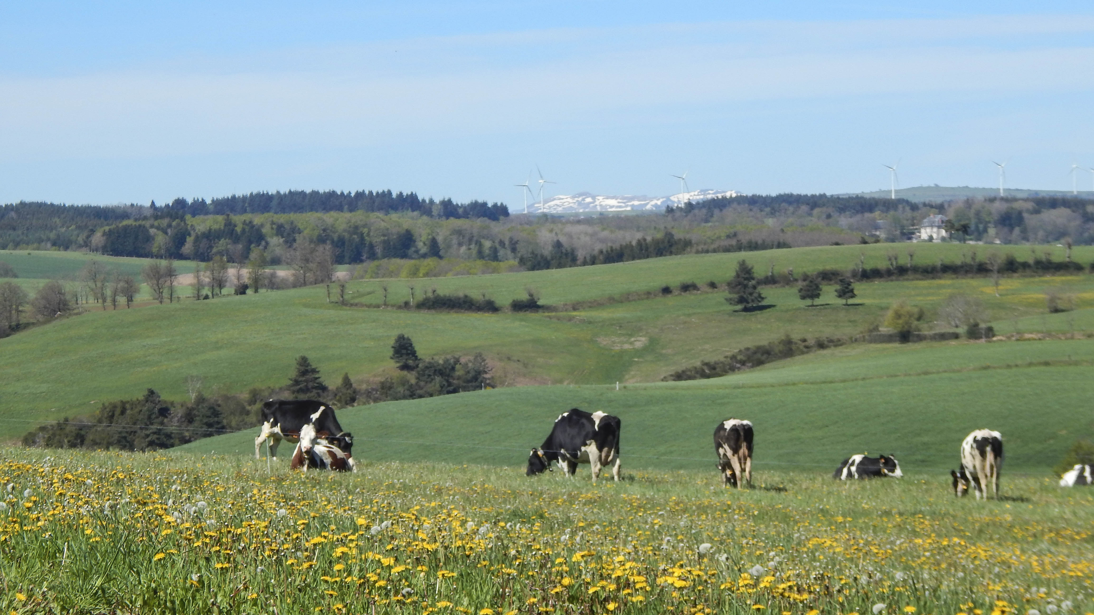
Une randonnée qui sera riche de découvertes, entre l’eglise romane de Saint-Poncy, le vieux pont de catzara et les paysages de pâtures agricoles.
Start – At the top of Place de l’Eglise, behind the war memorial, turn left onto Route Départementale 55. Cross the small bridge and, after about 50 m, take the lane on the right. Follow it for 120 m, and it becomes a path.
1- At the grassy level, take the left-hand track. It twists and turns and leads to the plateau. Continue straight ahead on this wide track up to the village of Arches.
2- At the road, turn left and go down to the next crossroads.
3- Turn right and continue straight ahead on départementale n°55.
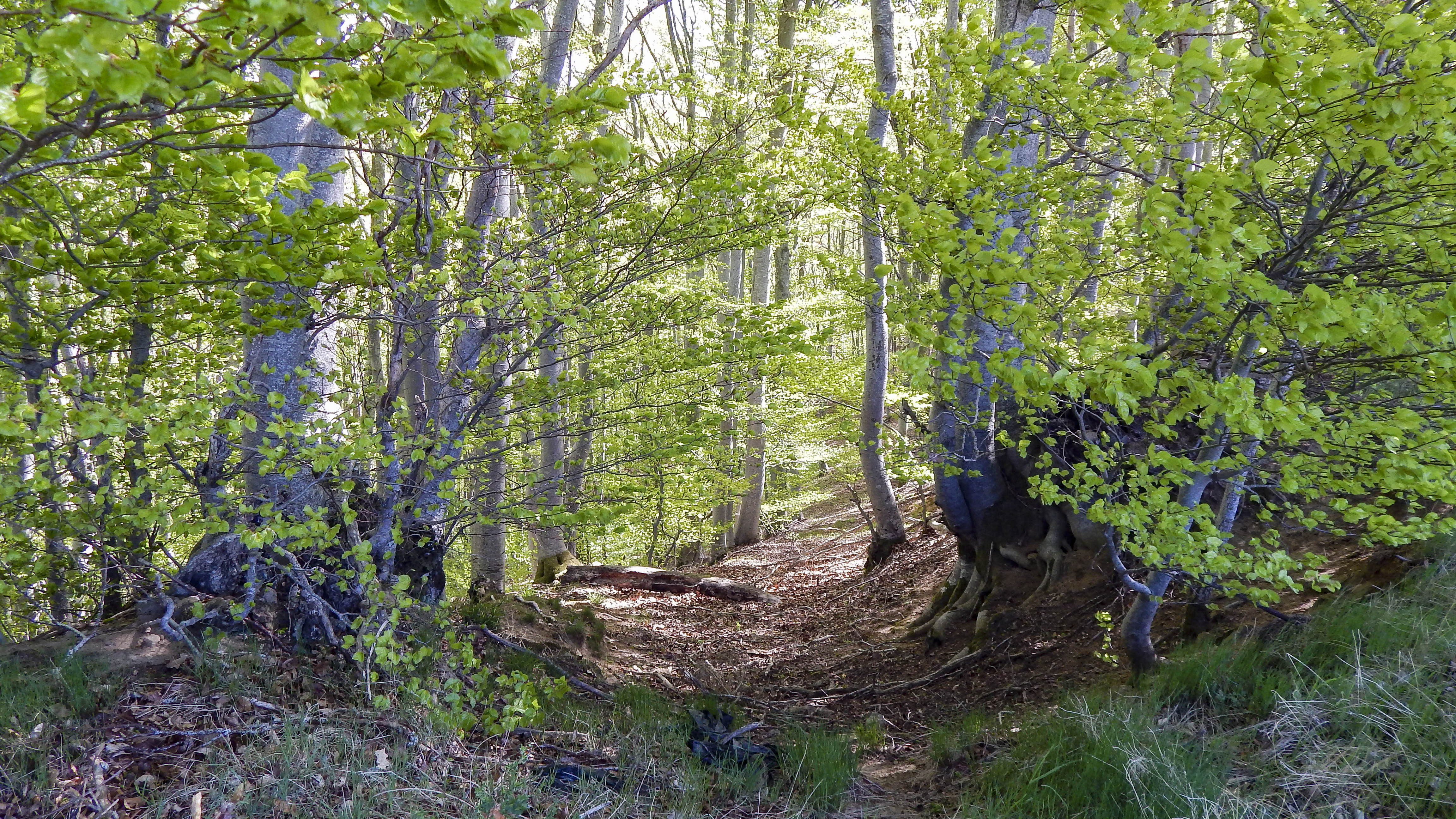
4- Just after the bridge over the Malavar stream, turn left at the EDF pole onto a track that climbs steeply through the undergrowth. This leads to the MouTeYre plateau. Continue straight ahead on this grassy path for around 850m, between woodland edges on the left and meadows on the right. Pass the farm shed.
5- At the crossroads, fork left onto the road leading to the hamlet of Boucharat. Pass the village.
6- At the small square, take the road to the left, which becomes a wide sandy track. Pass the farm shed on your left and wind down to the Catzara bridge. Cross the Alagnonnette and follow the wide track for about 250m.
7- At the crossroads, keep to the left and climb up to the hamlet of Monteil, which you go around to the left. Continue on the municipal road for about 350m.
8- At the crossroads, turn left towards Combes.
9- Before the hamlet, at a new house, take the right-hand track for a good kilometer.
10- At the entrance to the hamlet of Chausse, opposite a large grey wall, take the small road downhill on the left. Continue for about 100m.
11- At the EDF pole, opposite a property with a large fir tree, turn left. Continue straight ahead on this wide, pine-lined track, ignoring the inter-sections, for about 2.5 km. Return to route départementale n°10. Turn left for approx. 140 m.
12- Turn left at a hairpin bend and go down this wide, stony track to the river, which you cross by the small footbridge. Return to the road. Turn right and continue straight ahead on départementale no. 55 for a good kilometer to reach Saint-Poncy and the starting point.
-For your safety, please check the weather forecast before setting off on your hike. -To preserve the environment in which you are located, please avoid leaving garbage in nature. -Remember to take the appropriate equipment for the weather conditions and the hiking itinerary (hiking boots, water bottle, cap, sunglasses, jacket…).
All year round.
Subject to favorable weather.
Environments
In the country, Riverside, Forest location, Village 2 km away, Waterside