- Place de l'Hôtel de ville
15300 MURAT - +33 4 71 20 09 47
- contact@hautesterrestourisme.fr

Dienne
Loop
24.7km
7h
Green signposting.
550m
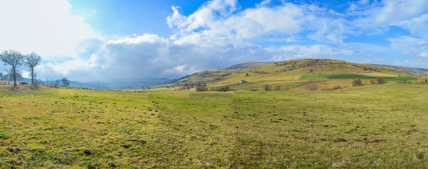
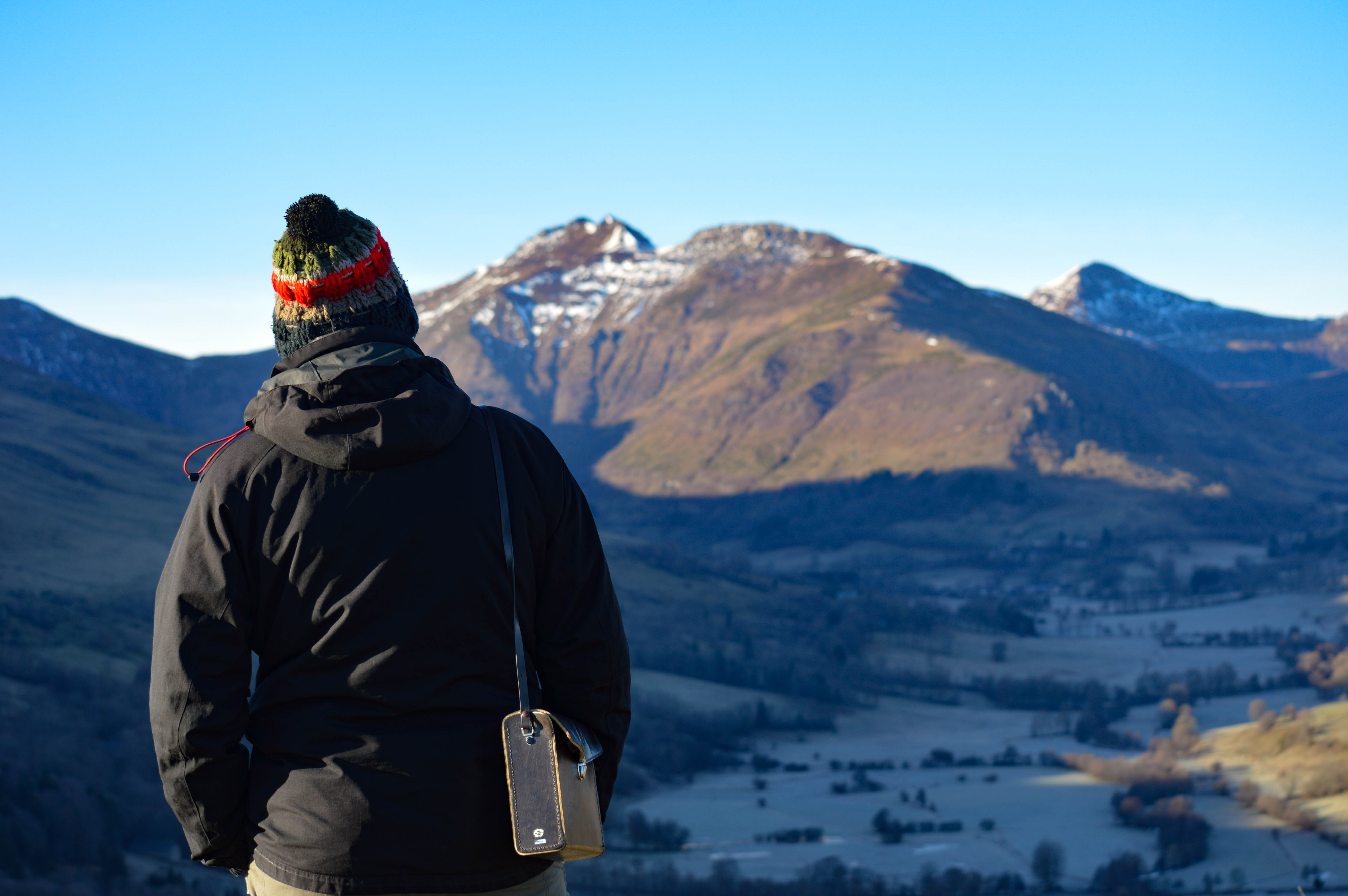
A challenging hike well worth the detour. On the program: superb views from the summit of the Rocher de Laqueuille and the Gendarme Cross, and enchanting sites such as the Frau de Collanges pond and Lac Sauvage.
-For your safety, please check the weather forecast before setting off on your hike. -To preserve the environment in which you are located, please avoid leaving garbage in nature. -Remember to take the appropriate equipment for the weather conditions and the hiking itinerary (hiking boots, water bottle, cap, sunglasses, jacket…).
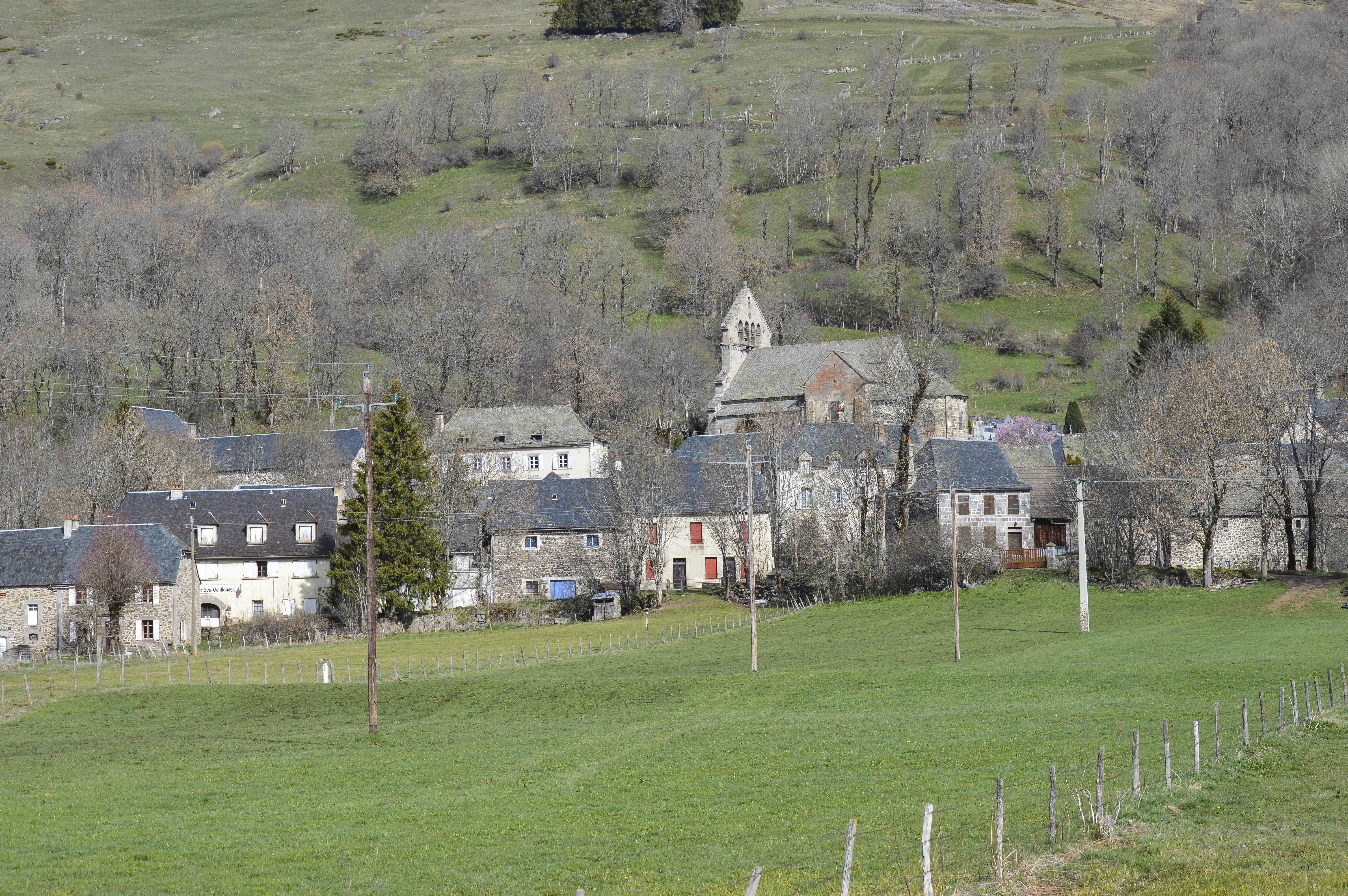
Start – Opposite La Poste, in Dienne. Reach the church (Romanesque style) and the cross-country ski center. When you reach it, climb the tarmac path, which becomes gravelled and passes the cemetery. Continue uphill, cross a fence and head opposite into the meadows. After passing a buron and crossing the Grouze stream, continue around the bends to the gendarme cross.
1- At the foot of the cross, turn right, then right again at the next crossroads. Go past the scree on your right, then along the sagne, continuing straight ahead as far as the Renouzier stream.
2- Cross the stream and leave the main path to take a less marked path to the right. Start descending between low walls as far as Nozières. Cross the hamlet and continue straight on for 350m to a large farmhouse. Drive past the building and turn right at the next crossroads. After 250 m, turn right at the next crossroads.
3- Take a path bordered by ash trees and fences. After a few coppices and low walls, the path descends and becomes more open.
4- At the river, cross it and join the hamlet of Collanges on a wide track leading to the D23. Turn left and follow the road up to the crossroads with the D3. At the crossroads, turn right and continue straight ahead for about 350m, keeping to the right-hand side of the road. At this point, cross the D3 and turn left. Follow the track straight ahead to the Frau de Collanges peat bog.
5- (Shortcut around the lake by turning right). Turn left and continue straight ahead on the gravel track for 2 km, skirting the spruce trees.
6- At the crossroads, turn left and take the track which becomes grassy at the edge of the forest. After 100 m, turn left again onto the track that runs downhill alongside meadows on the left and woods on the right. Go past a peat bog on the right and follow a fence on your right.
7- Turn left onto a grassy path bordered by low walls. The route leads over Lac de Sauvages to the road. Turn left and go straight over the weir. After crossing Sauvages, continue straight ahead at the bend to the hamlet of Péjouzoux.
8- Pass the first house and leave a wide track. Go up on the left and immediately follow a grassy path. Cross a fence and continue straight ahead in the meadow, then turn slightly right until you come to a fence which you have to cross to reach a larger path. Climb the track to the left. Once again, you come to the Frau de Collanges peat bog (point 5). Turn right this time, then right again at the next crossroads. Cross the fence. A few metres further on, cross a second fence and follow it to the right. Then fork left and continue along a path winding between two peat bogs.
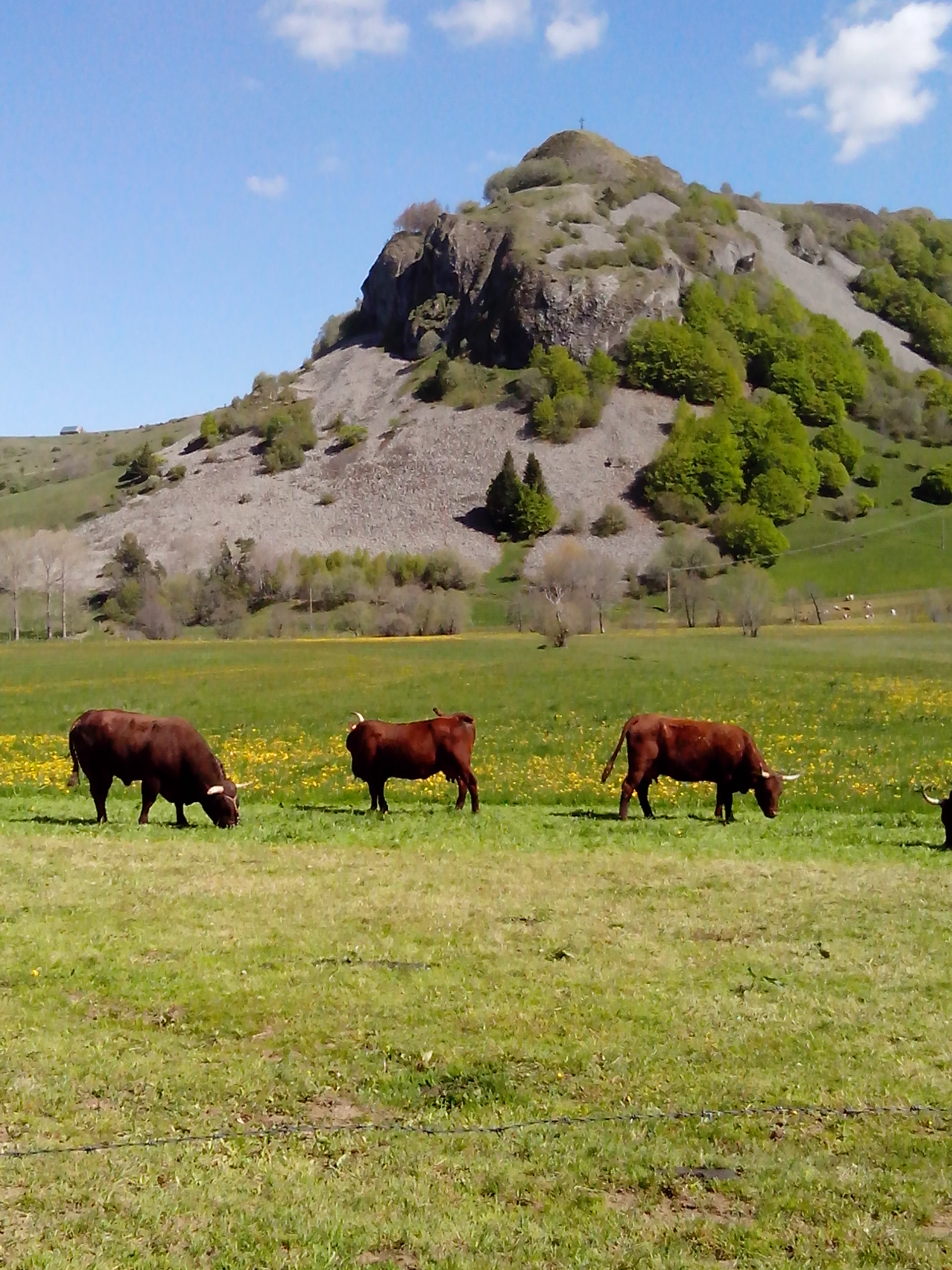
9- Cross another fence and continue on the well-marked path. Leave the mountain pasture and follow the track opposite, then enter an old quarry. Cross the fence and take the path furthest to the left. At the next crossroads, keep right on the main path and ignore the other directions on the right. At the next T junction, descend to the Col d’Entremont. At the crossroads with the D680, turn right and follow the road for 500m.
10- At the junction, turn left onto a wide track, then after 100m, turn left again. Continue straight ahead on this track for about 1.5 km until you reach a crow’s-foot (Rocher de Laqueuille, approx. 10 min return).
11- Go straight ahead. The grassy track becomes stony and descends to Laqueuille Haute then Laqueuille Basse. Continue on asphalt, cross the Santoire and return to Dienne to the starting point.
All year round.
Subject to favorable weather.
Environments
Lakeside or by stretch of water, Mountain view, Close to GR footpath, Waterside, Panoramic view